Concise Description
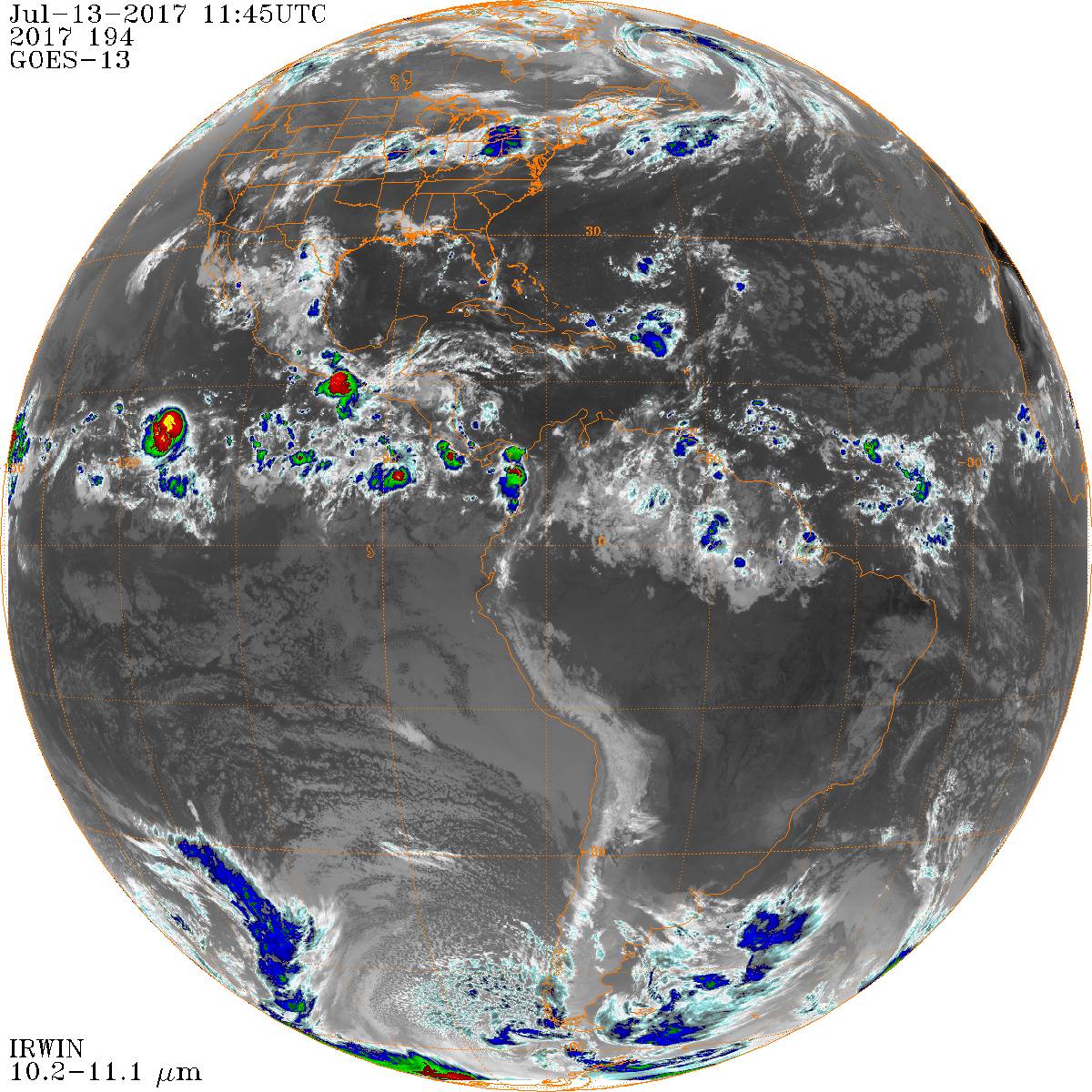
Quick Python script to download and plot GOES satellite preview and hi-resolution data by date/time.
Description
Download and plot GOES satellite JPEGs and high-resolution NetCDF4 by date/time. This Python package provides tools to download GOES (Geostationary Operational Environmental Satellite) preview images at 3-hour cadence and full-fidelity NetCDF4 data at 1-minute cadence from NOAA repositories. The software includes functionality to plot GOES infrared and other data georegistered on map coordinates using Cartopy. The preview downloader takes the GOES spacecraft number as a command-line argument, while georegistration is fixed to the GOES-East longitude slot and the packaged world files and bundled example data are GOES-13. It can access data from the NOAA NCDC GIBBS service for preview images and NOAA CLASS for high-resolution data.
Authors
Functionality
Technical Details
Data & File Formats
Science Context
Keywords
Related Items
Licensing & Funding
Version Information